|
Caddo Mounds Fact Sheet
Magnetic Secrets

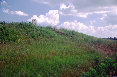
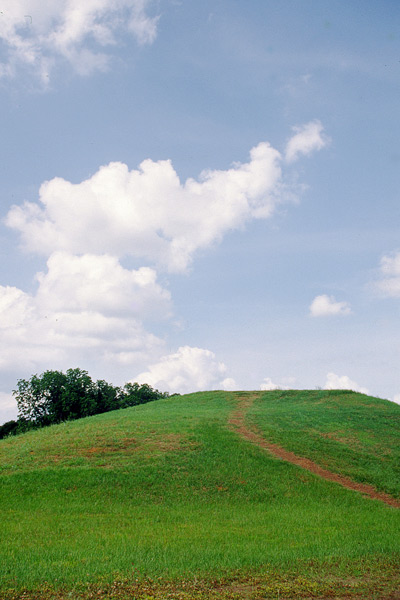
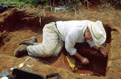
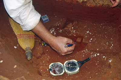
The buried foundations of many dwellings are visible in this image of the Caddoan Mounds site in East Texas. University of Texas scientists produced the image by scanning the grounds with a magnetometer, which can detect objects up to several feet below the ground. The scientists use this map to guide their excavations. An enlargement of a small section of the image, at right, shows several circular features that may have been houses or meeting places for the site inhabitants. Some or all of these structures may have been laid out with the help of the Sun and stars. [Credit: Texas Archeological Research Laboratory]
|
|
|
 |

Texas Native Skies is a production of StarDate
Online. Copyright ©2004-05 The
University of Texas McDonald
Observatory |